


07/03/2019 - LA GACILLY Ouest et Est.Virtuel

babeth35
Gebruiker
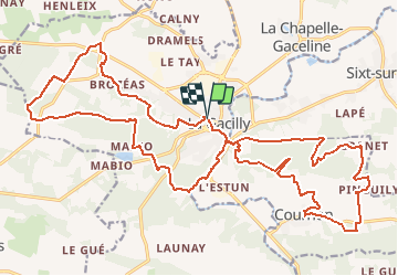

Lengte
29 km

Max. hoogte
100 m

Positief hoogteverschil
561 m
Km-Effort
36 km

Min. hoogte
3 m

Negatief hoogteverschil
560 m
Boucle
Ja
Datum van aanmaak :
2019-03-10 16:41:57.393
Laatste wijziging :
2020-07-20 14:59:31.244
7h50
Moeilijkheid : Medium

Gratisgps-wandelapplicatie
 SityTrail
IGN / Geografische instituten
SityTrail Plus
De wereld gaat voor u open
Over ons
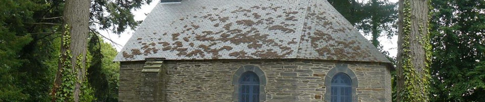
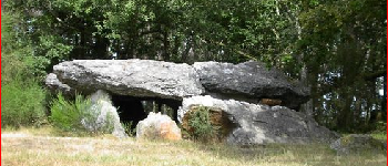
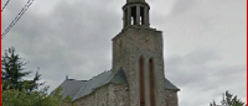
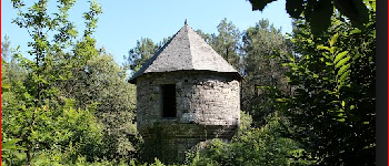
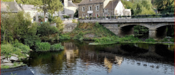
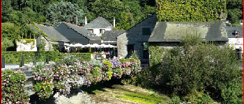
Tocht Stappen van 29 km beschikbaar op Bretagne, Morbihan, La Gacilly. Deze tocht wordt voorgesteld door babeth35.
Foto's


Plaatsbepaling
Land:
France
Regio :
Bretagne
Departement/Provincie :
Morbihan
Gemeente :
La Gacilly
Locatie:
La Gacilly
Vertrek:(Dec)
Vertrek:(UTM)
564799 ; 5290707 (30T) N.
Opmerkingen